The trail to Johnny Lang Canyon heads southwest from Quail Springs Picnic Area. There is a faint social trail starting from a water drain that heads towards a dark canyon. Travel for just over 0.6 miles, cross a wash, and enter the canyon.

Approaching the scramble section from Quail Springs Day-Use Area
The most challenging part of the hike is a 0.2 mile scramble up this canyon. You’ll probably need to use your hands in multiple places, depending on which route you choose. Move carefully and you’ll quickly top out onto more mellow terrain.
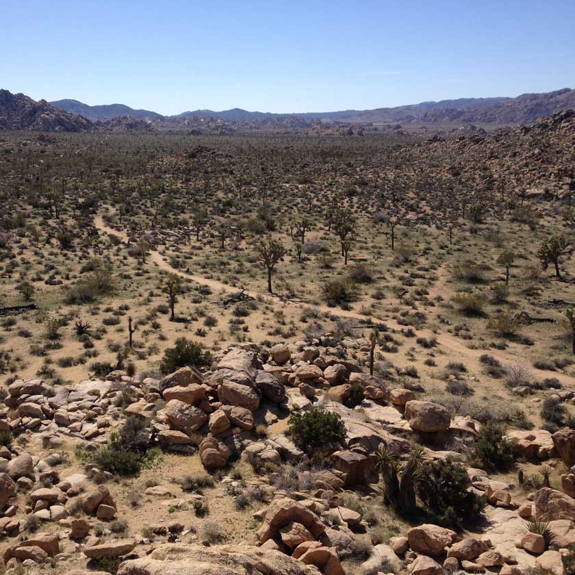
There is no definite way to go from here. Essentially, you’ll want to head over the pass to the south-southwest. The route I took was to bear left at the first wash confluence, then bear right at the second. Small cairns can be found marking one possible path, and a larger rock mound is a good landmark of the saddle at mile 1.6.

Cross country hiking to the saddle above Johnny Lang Canyon

A large rock mound at the saddle serves as a good landmark
Now is one of the best parts! Steeply descend into the obvious canyon below -- this is Johnny Lang Canyon.
Enter the wash at about mile 1.9, then turn right to follow it down canyon. Stay in the wash as it winds around some cool rock formations for about a mile.
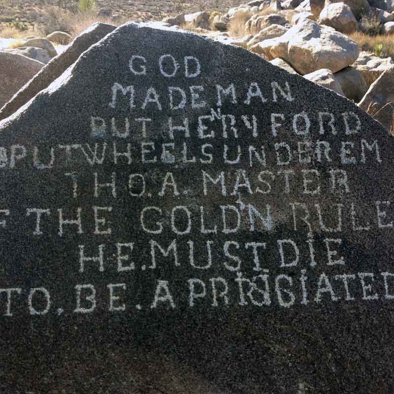
Eventually the canyon opens up and you can choose to either stay in the wash or give your legs a break and hike on an old road bed on the left hand bank. Once the canyon empties into the flat valley, turn slightly north (to your right) and wind around the base of the ridge. If you have some extra time, continue down the wash for a short side trip to nearby Samuelson’s Rocks.

The mouth of Johnny Lang Canyon
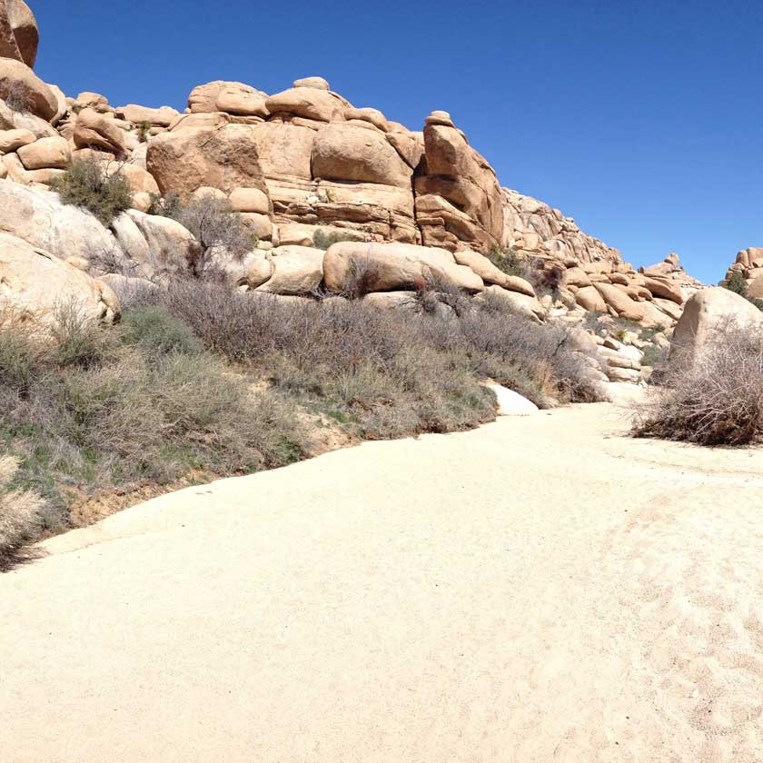
Look for the obvious Quail Springs Trail to intersect with your route at about mile 4.1. The last part of this journey is a bit of an unglamourous slog through soft sand. Follow Quail Springs Trail to the east for almost 2 miles as it crosses a large wash, eventually returning to Quail Springs Picnic Area.

A walk along Quail Springs Trail back to the trailhead