You’ll find the trailhead seven miles from the southern entrance to the park, off I-10. Drive past the cottonwood visitors center and cottonwood campground to the terminus of the road. A large parking area and backcountry registration board serves as the start to Mastodon Peak.
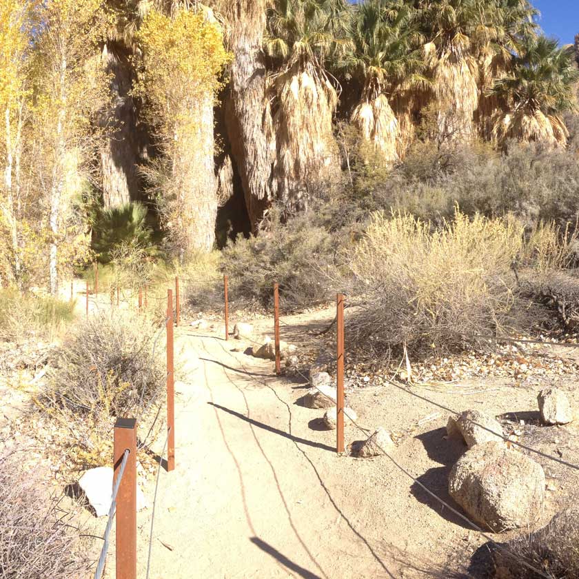
Cottonwood Springs Oasis is immediately visible from the parking lot. Follow a ramp to descend into one of the parks 5 fan palm oases. This oasis is unique due to the mix of palms and cottonwoods found here. If you visit in October, you’ll be greeted with a canopy of golden leaves.

A unique blend of fan palms and cottonwoods
Any natural water source in a desert has a long history of use, and this is certainly true of Cottonwood Spring Oasis. Native Cahuilla people passed through yearly to collect mesquite beans and process them into flour using a bedrock mortar and pestle. Look for an example of the bedrock mortar on the other side of the wash.

Bedrock mortar found near Cottonwood Springs Oasis
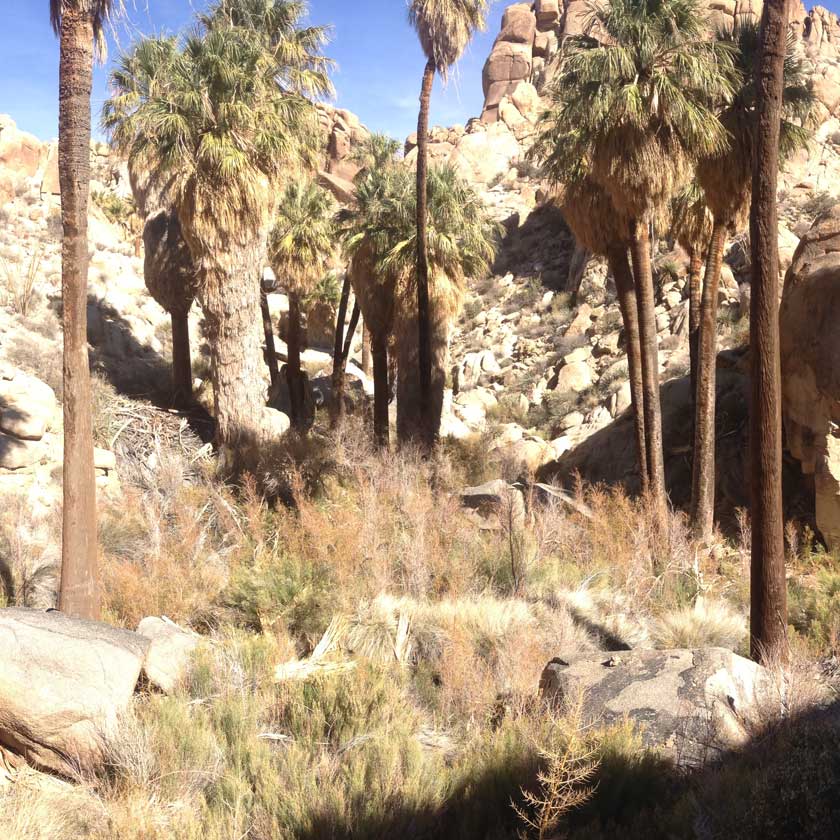
Continue up the gentle incline for 0.6 miles, passing the occasional ocotillo, to a signed junction with Lost Palms Oasis Trail. This is a very worthwhile extension to the Mastodon Peak hike if you have an extra couple of hours and leads to the largest stand of fan palms in the park.

The signed junction with Lost Palms Oasis trail
Turn left and ascend to the southwestern flank of Mastodon Peak. Giant blocks of monzogranite line the path as it climbs 150 feet in 0.2 mile to an open plateau.
To reach the summit of Mastodon Peak, scramble around to the southeastern aspect and spiral your way to the top. A couple of easy 3rd class moves are required, so make sure you are comfortable climbing up and back down. The plateau below has similar views and is a good stopping point if you’re uncomfortable with scrambling.

A 3rd class scramble leads you to the summit
From the top of Mastodon Peak you can see Pinto Basin to the north, Eagle Mountain to the east, the Salton Sea to the south, and the Cottonwood Mountains to the west.

The 360 view from the top of Mastodon Peak
Mastodon Mine is another relic of the 1930s gold rush in southern California. Like most mines in the area, it never lived up to its expectations and shut down when the vein of ore could no longer be located. It is one of the better preserved mines in the park and was worked on and off until the park acquired the land in 1971. Continue north for another 0.6 miles, where the trail dips into a wash.

Mastodon Mine - one of the best preserved mines in Joshua Tree National Park
The trail follows continues for another 0.6 miles, entering and exiting two parallel washes. Do not be swayed by the hundreds of footprints that continue tromping down the wash -- they quickly lead to a challenging canyon. Instead, look for a series of small rocks transecting the wash towards the correct overland route.

Pay attention for trail markers as you cross a series of large sandy washes
The trail drops into one final wash, which is notable because Cotton Spring is visible to the north as you enter. A few fan palms and cottonwoods draw water from this small spring. Remnants from the Winona Mill site, including old foundations and mostly buried water troughs, dot this canyon.

Cotton Spring is home to a few palms and the old Winona Mill Site
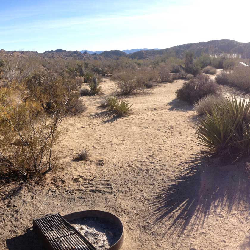
Complete the loop back to the trailhead for another 0.6 miles, following a huge wash south and intersecting with the road shortly before you arrive.