Score massive deals on the best outdoor gear   Get on the GEAR DEALS list   sent weekly to your inbox

OUTDOORBLUEPRINT

Hike Short Loop Trail

Joshua Tree National Park

Get the eGuide
Hike Short Loop Trail pano

3.7 Mi

loop

2 - 2.5

Hours

710

Gain (ft)
2 Star Quality
Quality

Moderate

Difficulty

The Short Loop Trail provides a quick jaunt around the hills to the east of Black Rock Campground. This is a nice trail to do if you are staying in the campground and want a short morning or evening hike. There is very little shade during mid-day, so be prepared with at least two liters of water and adequate sun protection. Signage can be somewhat lacking on this trail, so pay special attention to directions and wash crossings.

Hike Short Loop Trail Map Hike Short Loop Trail Elevation Profile
Marker Trailhead

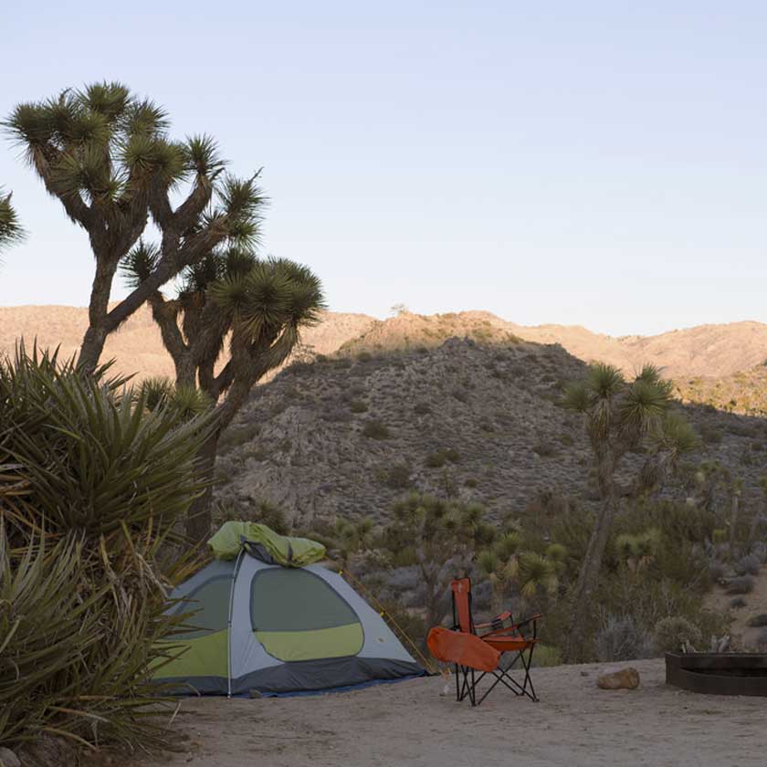
Pick up the trail at the backcountry board near the entrance to Black Rock Campground. Walk up a sandy wash to the first fork.

Joshua Trees along the Short Loop Trail

Joshua Tree's dotting the sides of the Short Loop Trail

Marker A

This is the loop junction, bear left to do the loop in a clockwise direction. The trail winds behind rock piles, following the California Riding & Hiking Trail for a little over a mile until you hit the right fork for the Fault Trail.

Signage for the Fault Trail

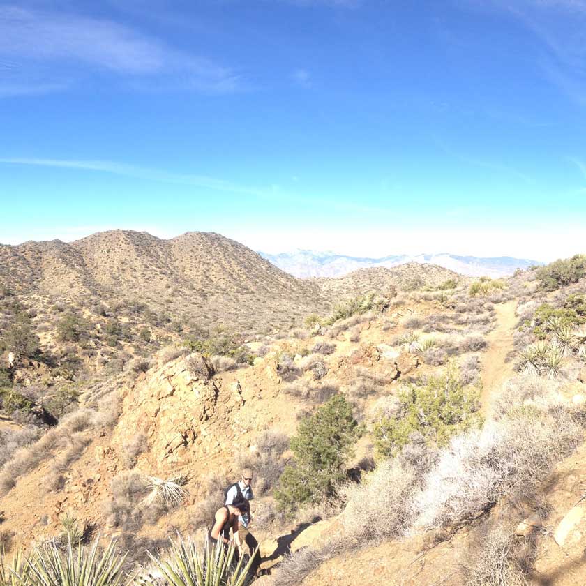
This trail has numerous junctions, so pay close attention to the signage

Marker B

Hang a right to follow signs to join up with the Fault Trail as it turns south, if you hit a large wash you missed the junction and need to backtrack.

Marker C

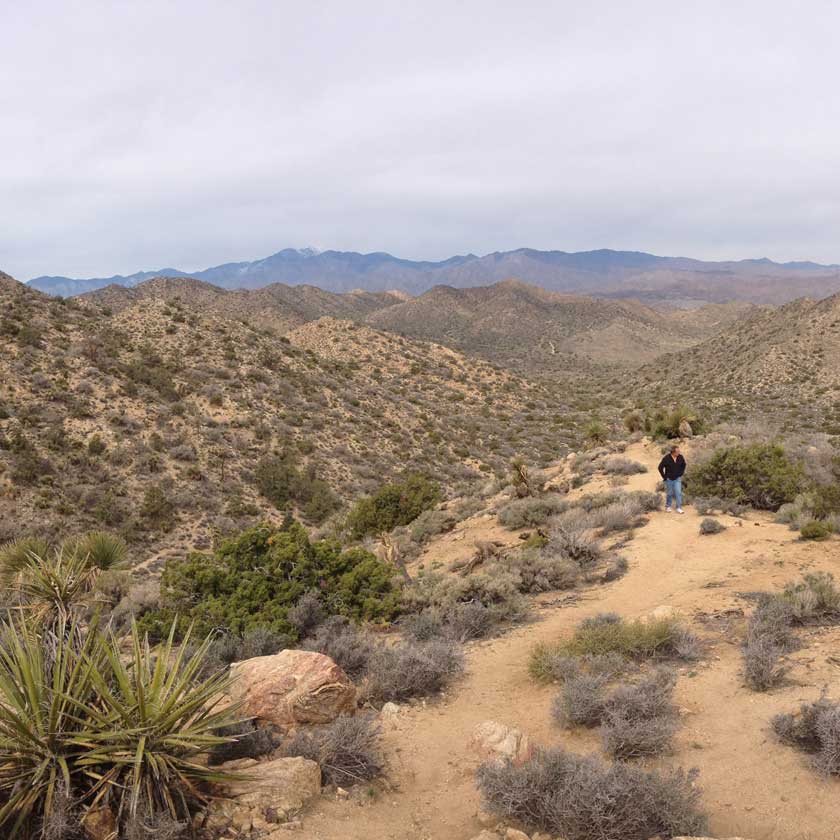
At mile 1.6, stay right to continue on the Short Loop Trail. The Fault Trail continues to Eureka Peak, again, if you reach a large wash you missed the junction. Continue west through a valley for another 1.4 miles.

Blooms of the Joshua Tree

The odd blooms of a Joshua Tree

Marker D

At mile 3.0, Short Loop Trail joins up with Black Rock Canyon Trail to turn north and head down a wash. Follow this wash, passing the loop junction (A), back to the trailhead.

    Directions

  • Black Rock campground is located in the northwest corner of the park, south of Yucca Valley. From Highway 62 in Yucca Valley continue east, then turn right onto Avalon Ave (just as you start leaving town). Continue straight for 2.9 miles as the road changes its name to Palomar Ave. Turn left onto Joshua Ln and continue another 0.9 miles. Turn right onto Black Rock Canyon Rd, curve around the left hand bend, and then navigate the potholes for another 0.7 miles into the campground.
  • Driving Directions

    Permits & Fees

  • $25 : Joshua Tree Entrance Fee

    Season

  • October - May

What's Nearby?

Black Rock Campground

Black Rock Campground

West Side Loop Trail

West Side Loop Trail

Hi-View Nature Trail

Hi-View Nature Trail

Have you hiked the Short Loop trail?

Share your experience below!