Score massive deals on the best outdoor gear   Get on the GEAR DEALS list   sent weekly to your inbox

OUTDOORBLUEPRINT

Hike Split Rock Trail

Joshua Tree National Park

Get the eGuide
Hike Split Rock Trail pano

2.4 Mi

Loop

1 - 1.5

Hours

380

Gain (ft)
2 Star Quality
Quality

Easy

Difficulty

Split Rock Trail provides a 2.4 mile teaser loop hike through classic Mojave Desert landscape. While this isn’t the most breathtaking trail in the park, it is a quick way to get a few miles of hiking in on a casual auto touring day and offers some whimsical geology. Route finding can be a little challenging along sections of this trail, so keep a watchful eye out for trail improvements such as stairs, rock markers, and cairns to guide your way.

Four picnic tables with their own firepit and grill can also be found at Split Rock. This picnic area is good option for avoiding some of the crowds at Hidden Valley.

Hike Split Rock Trail Map Hike Split Rock Trail Elevation Profile
Marker Trailhead

I suggest doing this hike counterclockwise to save the highlights till the end. The trail begins by wrapping around the namesake Split Rock. Watch for markers and signs to keep you on the correct trail, multiple climbers trails branch off making it easy to stray off course if you’re not paying attention. Continue north for 0.3 miles, cross a wash, and arrive at a trail junction with Eagle Cliff Mine Trail.

Large cave underneath Split Rock

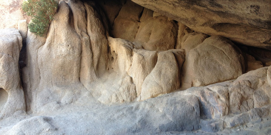
A large cave is formed underneath the Split Rock boulder

Marker A

Cruise through open Mojave Desert terrain as you parallel a wash. This part of the hike wraps around the backside of the rock formations, leaving all the good stuff till the end.

Yucca in the open desert

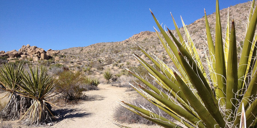
Yucca dot the trail as it crosses open Mojave Desert

Marker B

Cross the wash at mile 0.8 and continue south staying alongside the western edge of the rock formations.

Stone markers lining the path

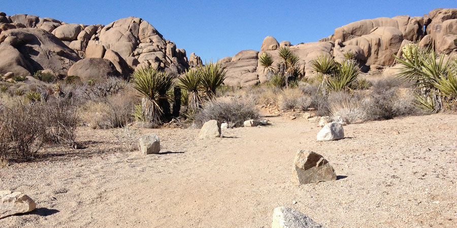
Stone markers line the path helping keep you on track

Marker C

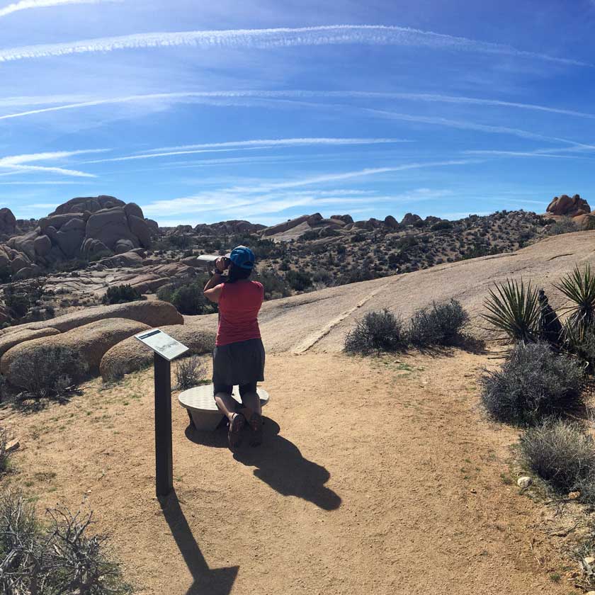
At mile 1.3, you’ll reach a signed junction with the Face Rock Spur Trail. This 0.4 mile out-and-back is a nice addition to the standard loop trail.

Marker D

Keep your eyes peeled for the large face-like profile on a tall cliffside. Face Rock is just one of many strange rock formations on this loop, what other shapes can you see along the way?

Face Rock

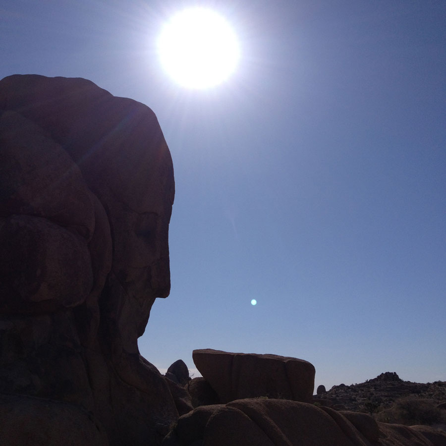
The silhouette of Face Rock

After retracing your steps to the spur trail junction, continue east through the best section of the Split Rock Trail.

Marker E

After a total of 2.0 mile, you’ll round a corner and see some tall pinyon pines nestled into a small canyon. This is a beautiful spot to take a moment to rest in the shade before finishing the 0.4 miles to the trailhead.

    Directions

  • From Park Boulevard at Skull Rock, head east for 0.6 miles. A sign marks the left hand turn towards Split Rock, continue up this maintained dirt road for 0.5 miles. The picnic area and trailhead are located just beyond the pit toilet at the terminus of Split Rock Road.
  • Driving Directions

    Permits & Fees

  • $25 : Joshua Tree Entrance Fee

    Season

  • September - May

What's Nearby?

Skull Rock Nature Trail

Skull Rock Nature Trail

Discovery Trail

Discovery Trail

Eagle Cliff Mine Trail

Eagle Cliff Mine Trail

Have you hiked the Split Rock Loop trail?

Share your experience below!