Getting lost sucks. It is also surprisingly easy to do, even on the simplest of day hikes. Constant awareness of your surroundings is the best tool to keep yourself on track. Navigational tools, such as topographic maps, compasses, gps devices, and/or altimeters, provide additional information. However, it's the combination of awareness, using the right tools, and being able to understand what the tools are telling you that result in a worry-free trip.
Topographic maps (topo for short) provide a birds-eye view of the land with the added feature of contours lines. A contour line notates the elevation profile of the land, which allows you to determine where terrain features like ridges, cliffs, and valleys are located. Topographic maps are broken down into a specific series (how much land is shown) and scale (how big it is). A topo is the most basic tool for navigation and it is also the most powerful. Visit our article - How to read a Topographic Map to learn more.
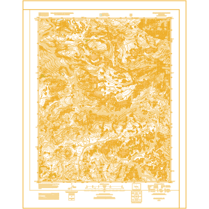
One of the most valuable types of topographic maps are the 7.5 Minute Series made by the United States Geological Survey (USGS). These maps show roughly 8.5 miles north to south and, in North America, around 6 miles east to west. They are accompanied by a standard scale of 1:24,000 which makes them easy to read but not overly large and bulky. These are great maps for consistency across map-sets and off-trail navigation. Depending on when the map was last updated, trails and roads can be misleading.
You can download a digital copy of the 7.5 Minute Series maps for free by using the USGS Map Locator Tool. Download and print off the areas you need, or order the complete color map.
Learn how to create your own free map by watching the video below.
Agency specific maps are another great option if you're visiting popular locations such as National Parks. National Geographic offers larger scale maps of most National Parks. These maps are beautiful, have accurate trails, and are comprehensive to include an entire area, but the scale is often less than ideal for navigational purposes. Green Trails Maps is another good options for parks in the western states.
A compass should be the next addition to your navigation toolbox. Compasses allow you to quickly orient a map, accurately triangulate your position, and follow a bearing if the weather gets bad. Though a compass needle provides very basic information (which direction is north) there are a wide variety of features that increase functionality and use.
A north pointing needle, though it provides valuable information, is often not enough. A baseplate compass allows you to measure the angles of where you want to go compared to north. This provides accuracy within a degree.
Baseplate compasses are made up of two pieces, the baseplate and the compass housing. The housing is a circle that holds the needle. Along the edges are degrees which serve as your guides. The baseplate is a clear rectangle that rotates independently from the housing, allowing you to measure angles.
A basic baseplate compass is the cheapest option. In fact, you actually learn more about navigation when using this compass because you have to do more than with a fancier model.