

The trail to Grand Tank is an extension of the Arch Rock Interpretive Trail in White Tank campground. This route follows an unmaintained trail for 0.5 miles for a total distance of 1 mile. Get started from the day-use parking found after site #8, and please only use the day-use parking so that other visitors can set up at the campsites. Follow the easy trail to arch rock, enjoying the interpretive signs along the way.
Just beyond the arch (1) is an interpretive sign title "Disappearing Soil." (2) This is your landmark to veer off the trail and head through a notch just left (north) of a large rock pile. The off-trail route is generally easy to follow. You want to head straight east, dropping into two separate washes along the way (3). A narrow rock gully marks the final rise before the tank. Stay to your left (north) or attempt to go directly through the gully, weaving through large talus (4).
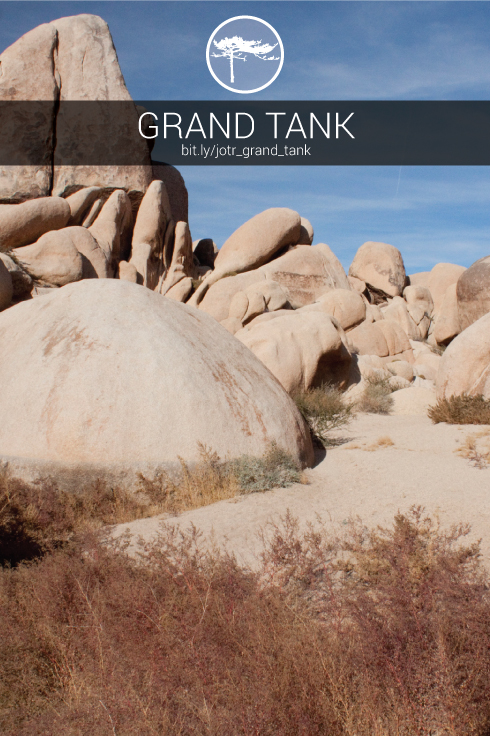
White Tank and Grand Tank are both examples of old reservoirs created by cowboys back in the late 1800's (5). Small cement dams were added to natural rock dams to create seasonal water catchment during rainstorms (6). Many tanks, most notably Barker Dam, are still used to this day by the wildlife found in the park.
Return by retracing your step back to the "Disappearing Soil" sign. Then complete the remainder of the arch rock trail loop.


