Start in Black Rock Campground to the east of site #30, on the backside of the campground. The most interesting parts of this hike are found on the southeastern portion of the loop, so I recommend going clockwise to see them first. Follow the road south for 0.2 miles where the trail splits off to the right near a large water tank.
Continue south for another 0.1 miles to a junction with Burnt Hill Trail.
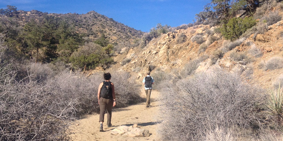
Take the right fork to stay on West Side Loop Trail for another 0.7 miles. Most of the elevation gain on this hike happens in the first 2 miles as the trail winds through the hills. Some wash crossing are not clearly signed, so look for rock markers to help stay on track.
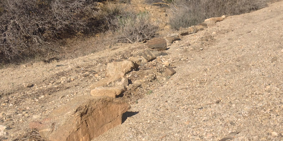
A line of rocks across a wash is a good indicator of where the trail goes
At mile 1.0 the trail ends in a wash. Turn right to follow the canyon west as it continues to gain elevation. Stay right at a confluence, the wash will diminish and become a trail shortly thereafter.
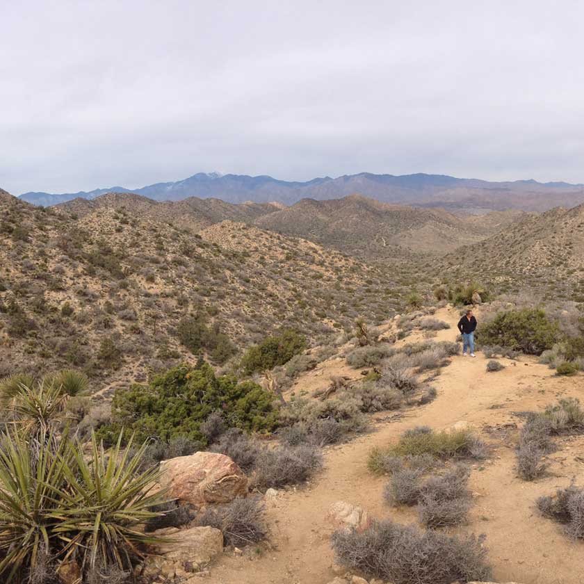
If you are visiting in the winter or spring, look for a shining snowcap on top of San Gorgonio Mountain. Sitting at 11,503 feet high, San Gorgonio is the tallest peak in southern California.
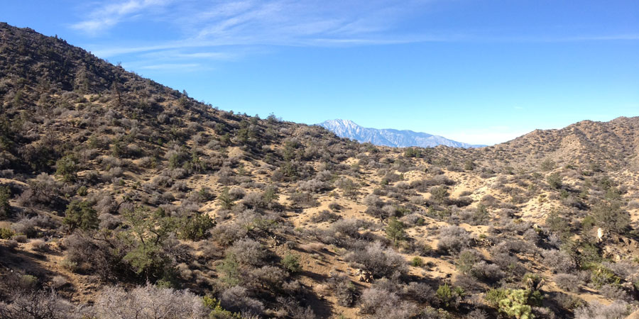
Snow capped San Gorgonio Mountain in the distance
At 2.3 miles, the trail reenters a wash. Pass a confluence after another 0.3 miles, and continue north for another 0.4 miles.
Look for a trail leaving the wash to the right at mile 3.0. If you reach a dirt road you’ve gone too far and need to backtrack. The trail quickly joins up with another route after leaving the wash. The second half of the loop opens up and follows an obvious trail which leads you back towards Black Rock Campground.
Deep sand in the washes makes for slower then normal progress
Hi View Nature Trail branches off to the south at mile 4.0 as you climb to the final pass. You can add the Hi-View Nature Trail to the tail end of this loop for an extra 1.3 mile jaunt.